Map Thread XXII

Bytor

Monthly Donor
Some kind of post-post-apocalyptic world, maybe?

With a communist Wales, by the looks of it

NGL, "Daddy Chrimbo" sounds like some kind of Bo' Selecta! character
Some kind of post-post-apocalyptic world, maybe?

With a communist Wales, by the looks of it

NGL, "Daddy Chrimbo" sounds like some kind of Bo' Selecta! character
For those who don't know, "Chrimbo" is British slang. https://en.wiktionary.org/wiki/Chrimbo
 
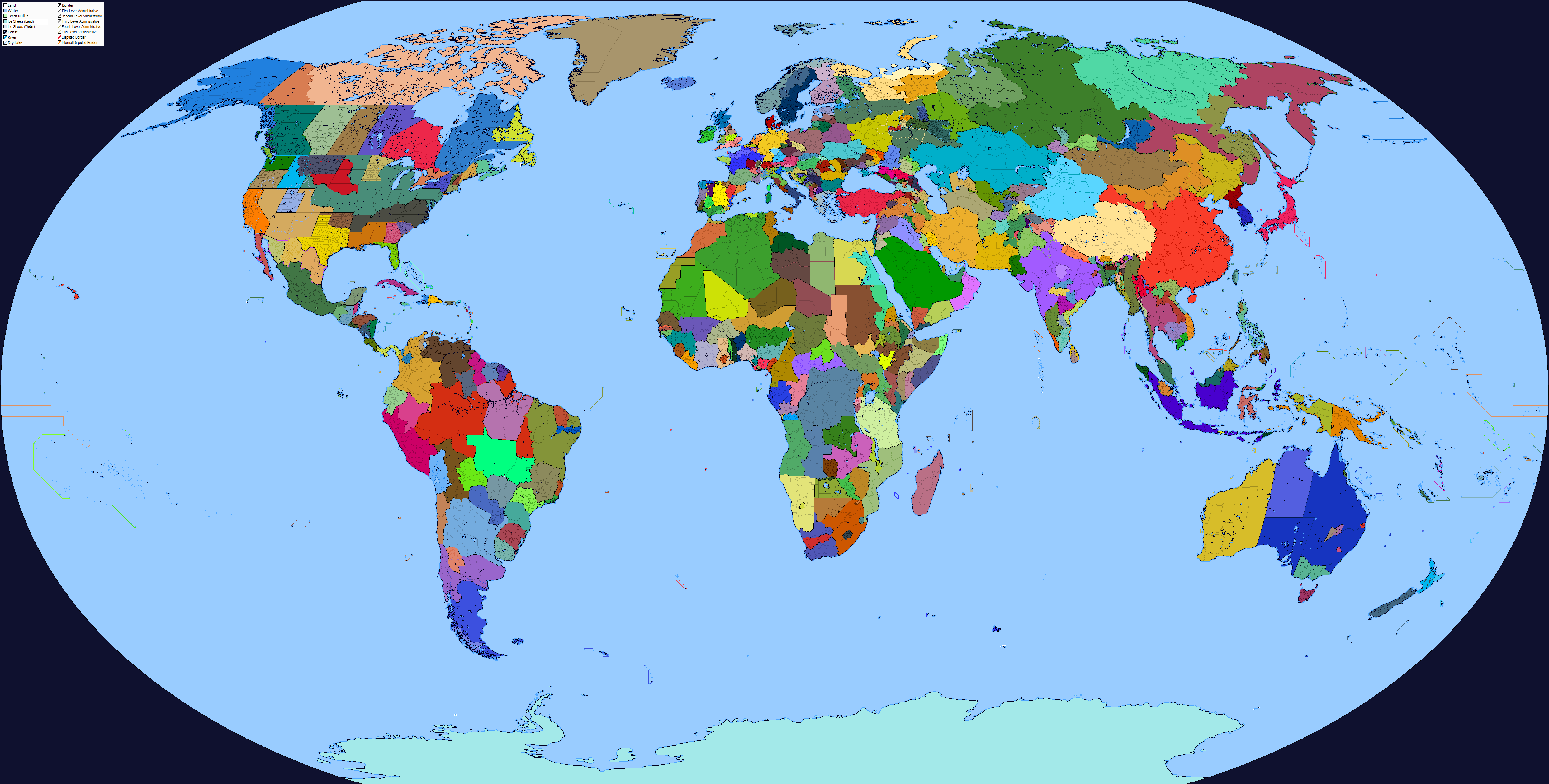
I tried to map separatist and autonomist movements into a single map. It didn't go well and I'm sure it lacks many of them.
dgoboij-bd76b919-d602-47eb-b2b8-61465b92ac8a.png
 
No backstory or timeline, only very vague PoD (different outcome of Aboukir and/or Napoleon campaign in Syria)
- Napoleon stay in Egypt and then went full Alexander (no, it is not meant to be that much realistic)
Have one or two more ideas for alternative Napoleon empire(s)
(painting I used of course isn´t mine, author is Jean-Léon Gérome)
NA.jpg
 
Last edited:
No backstory or timeline, only very vague PoD (different outcome of Aboukir and/or Napoleon campaign in Syria)
- Napoleon stay in Egypt and then went full Alexander (no, it is not meant to be that much realistic)
Have one or two more ideas for alternative Napoleon empire(s)
(painting I used of course isn´t mine, author is Jean-Léon Gérome)
View attachment 879725
Nice idea. I am looking forward to seeing the other ideas you have.
 
Alterra_Atlantis_topography.png
Alterra_Atlantis.png

Once again went back to my Alterra map I did, but this time I focused on what's basically supposed to basically be Atlantis.

On the left is a topographic map. Originally, when I drew the map, I had basically decided to raise the sea floor around the islands that make Macaronesia (Azores, Madeira, Canaries and Cap Verde). I'm not sure how believable this is from a geological POV but I was going for ASB anyway when I did the map... Whatever the case, I basically took this idea back and had a look at what exactly would be the topographic look of these islands.
When I see the end result, I'm actually quite liking the look that I gave Atlantis proper (the raised Azores) and the big Island that I created to replace Madeira. The replacement for Canaries and Cap Verde however look a bit weird...

On the right is an Administrative map that I did based around said topographic map. My idea was to try and give the various provinces a somewhat believable look, so I tried to use the topography to draw the borders. I'm mostly happy with how that turned out, even if sometimes I felt like I had absolutely no idea what I was doing...

I'd be happy to hear your thoughts and criticism.
 
It's like maps which have the Nile River in Egypt as a border.
That's worse than a Saint Lawrence border. The entire concept of Egypt is based on Nile River farming. You can't just have half of that, especially because there's desert on both sides. Good river borders are those on rivers like the Rhine, Danube, Mississippi, and Yangtze, where a nation can be built on either side.
 
It's like maps which have the Nile River in Egypt as a border.

(There certainly are nations which use a river as a border, but their cultural and demographic core is always somewhere else).
Now do the Rio Grande, Rhine, Bug, Oder, Uruguay, Rio Pilcomayo, Rio Parana, Senegal River, Aras, Muonio/Tornio, Johor Strait (basically a river), Prut, Dniester, Limpopo, and Zambezi.
 
(There certainly are nations which use a river as a border, but their cultural and demographic core is always somewhere else).
Overall, and as a very general rule, rivers serve as borders when the area around them is fairly homogeneous and overall inhabitable. This especially works well in humid areas that can sustain vast irrigation systems (Europe, East Asia, North America, eastern South America).
Rivers do not work as borders when the river is the main element of a certain area, say deep valleys or deserts, as in those areas the river is a cultural core. This is especially true with large rivers as trade can be conducted along them.
 
Nice idea. I am looking forward to seeing the other ideas you have.
Thank you!
Compliments can be nice, but compliments from favourite alt history map makers are nicer
I am afraid, that another map take some time (laziness and lack of time aren´t good combination)
First idea is pretty close to this one (Egypt, only different course of expansion), second stays secret for now (its more original, I think, even if I would pretty surprised if nobody work with it before)
 
That's worse than a Saint Lawrence border. The entire concept of Egypt is based on Nile River farming. You can't just have half of that, especially because there's desert on both sides. Good river borders are those on rivers like the Rhine, Danube, Mississippi, and Yangtze, where a nation can be built on either side.
Even then, rivers unite more often than they divide. The French-German border is a short stretch of the Rhine, a result of French rulers being enamored with neat geographical arrangements (very dubious "natural borders"): the Rhinelands are unified by the Rhine, and it then goes it through the Netherlands, not between Belgium and the Netherlands. The Yangtze has never been a border and the Mississippi has never been anything but theoretically a national border, and nowadays helps stitch the US together. I'll give you the Danube, especialy the bulgarian-Romanian border , but note that's been a defensive frontier for multinational empires in one form or another for millennia.

(Of course, this is important river arteries: smaller rivers are often much less necessary).
 
Last edited:
I tried to map separatist and autonomist movements into a single map. It didn't go well and I'm sure it lacks many of them.
dgoboij-bd76b919-d602-47eb-b2b8-61465b92ac8a.png
About Spain (yeah, a messy one), I'd say two things:
Basque irredentism, Euskal Herria, also includes Navarre as its territory
Why are Almeria and Murcia shaded differently of Andalucia?
 
Top