The HEART Development and Core Thread

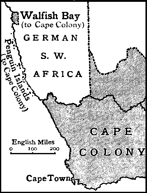
Penguin islands, please :)
I was only able to spot one of them on SAT, I think the others are too small to show up even at this scale, if not someone more qualified than me should add them in

Patch #36
Finishing up some areas around SA, I think this gives a really strong foothold in Africa for further patches, I am not happy with Botswana's second level borders, they should be looked at by someone, the Okavango Delta was rly hard but I think it has good accuracy.

Added Lesotho
Added eSwatini
Added Botswana
Added Marian Island
Added Bouvet Island
Added Possesion Island

1703084519597.png
 
I was only able to spot one of them on SAT, I think the others are too small to show up even at this scale, if not someone more qualified than me should add them in

Patch #36
Finishing up some areas around SA, I think this gives a really strong foothold in Africa for further patches, I am not happy with Botswana's second level borders, they should be looked at by someone, the Okavango Delta was rly hard but I think it has good accuracy.

Added Lesotho
Added eSwatini
Added Botswana
Added Marian Island
Added Bouvet Island
Added Possesion Island

View attachment 876425
With this, a proper Bantustan patch can now be made.
 
New update for Papua, only the Highlands are left now:
- Morobe Province
- Madang Province
- East Sepik Province
- Sandaun Province
- three more islands from Manus Province I missed earlier
1703094804421.png
 
This could definitely be improved further but I wanted to be able to say I did the entire Netherlands, Here is a small patch for the Dutch Caribbean as well as French St. Martin

1703103525597.png
 
The correct progress map is more like this, there are several areas that need a revisit, and all the southern US lakes and coast are currently a stylistic error and most of the Caribbean lacks reefs

1703147281501.png
 
For some reason when I paste some parts of the NA patches into a blank file, it randomly starts doing this "blur" or something which I can't explain. Anyone know why this is the cause?
Edit: Changed the photo so it's easier to see.
1703150759477.png
 
Papua New Guinea is complete. Now including:
- Highlands region (Hela, Enga, Chimbu, Jiwaka, Southern-, Western-, and Eastern Highlands provinces)
- Hegigio/Tagari river

1703160308088.png


And all of Melanesia:
1703160271834.png
 
Last edited:
Sanity nerf for this one but I did it, I do think it turned out great but some lakes especially the smaller ones might be a pixel or 2 off, someone less sane than me is free to patch that in the future, but I think this is the best I can do for now

Added Finland

1703165539253.png
 
Last edited:
Errors I caught in the latest 2 USA updates:
1703167107011.png

1703167120956.png

Colorado:
  • Routt and Eagle counties joined together
North Carolina
  • Greene and Lenoir counties joined together
  • Gaston and Mecklenburg counties not properly separated
Tennessee
  • DeKalb and Warren counties joined together
  • Union and Grainger and Jefferson counties joined together
South Carolina
  • Lexington-Richland border incomplete
* I've patched each of these to the best of my ability. Still up to other people to properly fix the borders.
 
Patch #37

Finished the EU by adding Finland (it was a nightmare), I also added Belarus which recovered my sanity, for my next patches I will rpobably start nibling some of European Russia as I want to finish the Gulf of Finland and the Black Sea coastlines

Added Finland
Added Belarus
Added the Pripyat river
Extended the Dnipro river
Extended the Daugava river

1703195757053.png
 
for my next patches I will rpobably start nibling some of European Russia as I want to finish the Gulf of Finland and the Black Sea coastlines
Yeah, oblast by oblast is probably a good idea. Smaller oblasts/okrugs/krais can of course be combined, but I think this is a very good idea - and maybe provides an opportunity to "expand" into Central Asia at some point. Which doesn't have many small lakes by the way...
 
Patch #38

Started on the Kavkaz and made my way to the Caspian sea, I also made som revisions for Azerbaijan-Armenia border conflict but its hard to find a good source I mainly used OSM for this, I regret doing second levels for Russia alot right now but I am going to commit, I am going to post smaller patches henceforth as the map is getting quite big, maybe I will do a full map only every 5 or 10 patches depending how much progress there is

Oh and Nagorna Karabakh isnt on this as it will be dissolved soon

Added Nakhchivan
Added Azerbaijan
Added Dagestan
Extended the Kura river
Extended the Aras river

1703246811259.png
 
Last edited:
I am Brazilian and would like to help in mapping Brazil. I am on phone currently so that might be difficult, I use IbisPaint X and it does not have support for .pdn files so I would need to have each layer separately to be assembled in IbisPaint so I can start to help with the mapping. In Brazil I will try to add 2nd level administrative divisions but only after I finish the 1st level states, as the Municipalities can be big but they also can be really small.
 
Last edited:
Top